Haden Way
Introduction
The photograph on this page of Haden Way by Peter Whatley as part of the Geograph project.
The Geograph project started in 2005 with the aim of publishing, organising and preserving representative images for every square kilometre of Great Britain, Ireland and the Isle of Man.

There are currently over 7.5m images from over 14,400 individuals and you can help contribute to the project by visiting https://www.geograph.org.uk
Haden Way
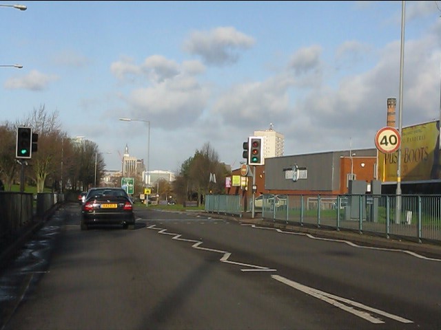
Image: © Peter Whatley Taken: 7 Dec 2011
After the long, long crawl through Kings Heath and Moseley, the A435 reverts to a 40mph limit on the new alignment of Haden Way.
Images are licensed for reuse under creativecommons.org/licenses/by-sa/2.0
Image Location
Latitude
52.459384
Longitude
-1.886486