Birmingham New Road
Introduction
The photograph on this page of Birmingham New Road by John M as part of the Geograph project.
The Geograph project started in 2005 with the aim of publishing, organising and preserving representative images for every square kilometre of Great Britain, Ireland and the Isle of Man.

There are currently over 7.5m images from over 14,400 individuals and you can help contribute to the project by visiting https://www.geograph.org.uk
Birmingham New Road
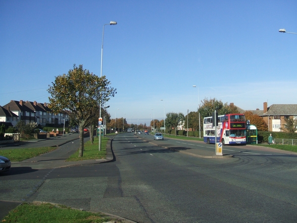
Image: © John M Taken: 4 Nov 2006
This was taken on a quiet Saturday morning. It is definitely not like this on weekdays! The road was built between the wars as the main thoroughfare between Wolverhampton and Birmingham.
Images are licensed for reuse under creativecommons.org/licenses/by-sa/2.0
Image Location
Latitude
52.558185
Longitude
-2.110584