Old Road Sign
Introduction
The photograph on this page of Old Road Sign by Dan Quinn as part of the Geograph project.
The Geograph project started in 2005 with the aim of publishing, organising and preserving representative images for every square kilometre of Great Britain, Ireland and the Isle of Man.

There are currently over 7.5m images from over 14,400 individuals and you can help contribute to the project by visiting https://www.geograph.org.uk
Old Road Sign
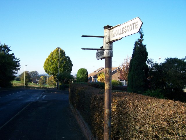
Image: © Dan Quinn Taken: 4 Nov 2006
This old Sign is found at the junction of Pedmore Lane & Gauden Road. Where it shows the directions to Pedmore (Straight On) and Wollescote. The Sign direction that is missing is thought have shown the way to Lutley up Pedmore Lane. To the left of the picture is Pedmore Hall Farm and the junction to Swindell Road can be seen on the left
Images are licensed for reuse under creativecommons.org/licenses/by-sa/2.0
Image Location
Latitude
52.440401
Longitude
-2.12647