Centurion Way, Crossgates
Introduction
The photograph on this page of Centurion Way, Crossgates by Christine Johnstone as part of the Geograph project.
The Geograph project started in 2005 with the aim of publishing, organising and preserving representative images for every square kilometre of Great Britain, Ireland and the Isle of Man.

There are currently over 7.5m images from over 14,400 individuals and you can help contribute to the project by visiting https://www.geograph.org.uk
Centurion Way, Crossgates
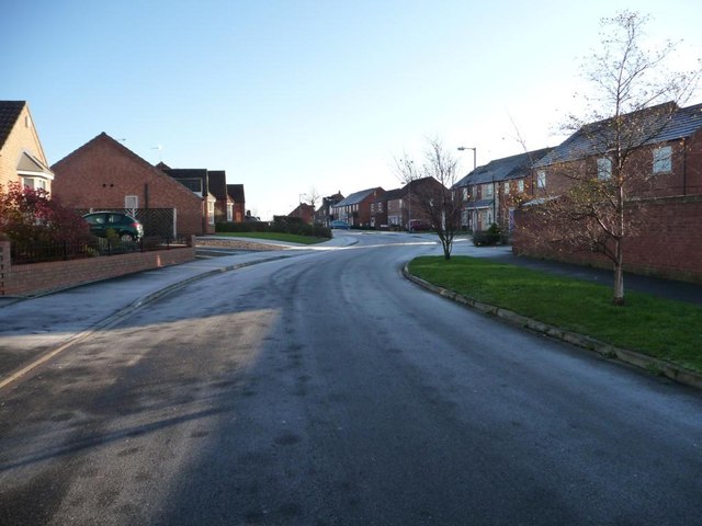
Image: © Christine Johnstone Taken: 6 Dec 2011
Looking towards the junction with Hadrian's Walk. The street names in this new development have a definite Roman theme.
Images are licensed for reuse under creativecommons.org/licenses/by-sa/2.0
Image Location


Leaflet Map data © OpenStreetMap
Latitude
54.238196
Longitude
-0.427869