The Manor House, an island on the A684
Introduction
The photograph on this page of The Manor House, an island on the A684 by Roger Templeman as part of the Geograph project.
The Geograph project started in 2005 with the aim of publishing, organising and preserving representative images for every square kilometre of Great Britain, Ireland and the Isle of Man.

There are currently over 7.5m images from over 14,400 individuals and you can help contribute to the project by visiting https://www.geograph.org.uk
The Manor House, an island on the A684
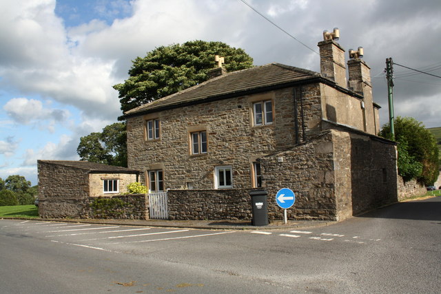
Image: © Roger Templeman Taken: 8 Aug 2011
There is an OS benchmark Image on the left corner of the outbuilding.
Images are licensed for reuse under creativecommons.org/licenses/by-sa/2.0
Image Location
Latitude
54.308345
Longitude
-2.103706