Track and farmland, East Cowton
Introduction
The photograph on this page of Track and farmland, East Cowton by Andrew Smith as part of the Geograph project.
The Geograph project started in 2005 with the aim of publishing, organising and preserving representative images for every square kilometre of Great Britain, Ireland and the Isle of Man.

There are currently over 7.5m images from over 14,400 individuals and you can help contribute to the project by visiting https://www.geograph.org.uk
Track and farmland, East Cowton
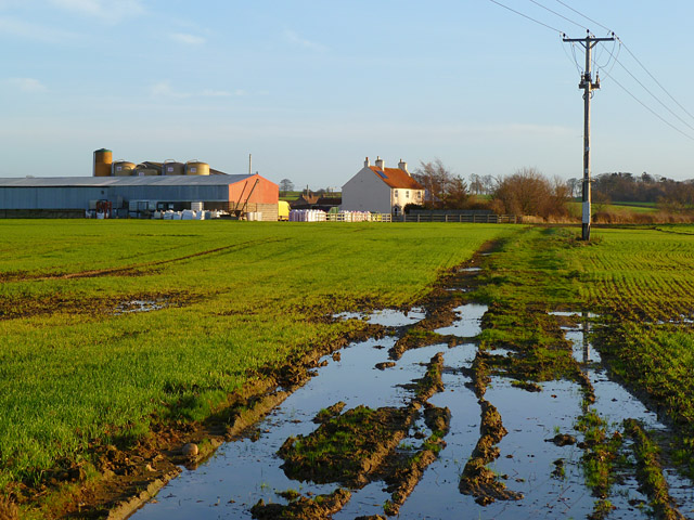
Image: © Andrew Smith Taken: 30 Nov 2011
The public footpath approaching Frigidale Farm from the west.
Images are licensed for reuse under creativecommons.org/licenses/by-sa/2.0
Image Location
Latitude
54.431995
Longitude
-1.496966