Road narrowing sign on Horsham Road
Introduction
The photograph on this page of Road narrowing sign on Horsham Road by Dave Spicer as part of the Geograph project.
The Geograph project started in 2005 with the aim of publishing, organising and preserving representative images for every square kilometre of Great Britain, Ireland and the Isle of Man.

There are currently over 7.5m images from over 14,400 individuals and you can help contribute to the project by visiting https://www.geograph.org.uk
Road narrowing sign on Horsham Road
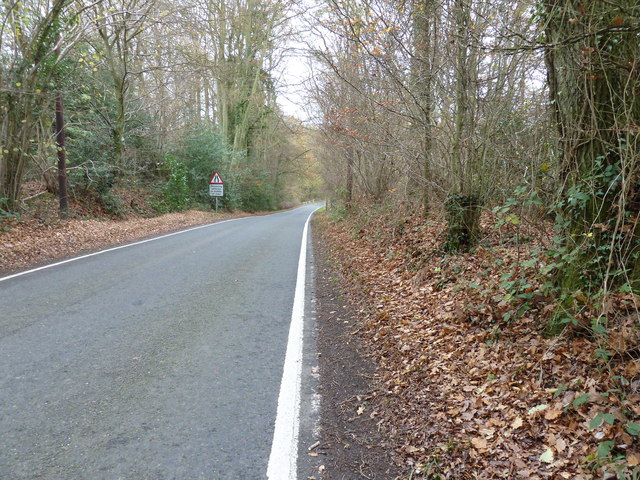
Image: © Dave Spicer Taken: 4 Dec 2011
A narrow bridge takes the road over a stream that feeds Standon Brook.
Images are licensed for reuse under creativecommons.org/licenses/by-sa/2.0
Image Location
Latitude
51.136353
Longitude
-0.400124