Robert Burns Memorial Garden
Introduction
The photograph on this page of Robert Burns Memorial Garden by Alan Findlay as part of the Geograph project.
The Geograph project started in 2005 with the aim of publishing, organising and preserving representative images for every square kilometre of Great Britain, Ireland and the Isle of Man.

There are currently over 7.5m images from over 14,400 individuals and you can help contribute to the project by visiting https://www.geograph.org.uk
Robert Burns Memorial Garden
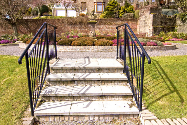
Image: © Alan Findlay Taken: 20 Apr 2010
Located on the site of a former brewery, part of the ruins can be seen on top right corner of the garden.
Images are licensed for reuse under creativecommons.org/licenses/by-sa/2.0
Image Location
Latitude
56.967208
Longitude
-2.20984