Road to Cleddon and Trelleck from Llandogo
Introduction
The photograph on this page of Road to Cleddon and Trelleck from Llandogo by Jaggery as part of the Geograph project.
The Geograph project started in 2005 with the aim of publishing, organising and preserving representative images for every square kilometre of Great Britain, Ireland and the Isle of Man.

There are currently over 7.5m images from over 14,400 individuals and you can help contribute to the project by visiting https://www.geograph.org.uk
Road to Cleddon and Trelleck from Llandogo
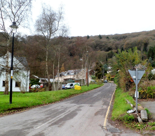
Image: © Jaggery Taken: 4 Dec 2011
Viewed across the A466. A sign behind the camera shows that Trelleck (also spelt Trellech) is 2½ miles away.
Images are licensed for reuse under creativecommons.org/licenses/by-sa/2.0
Image Location
Latitude
51.733587
Longitude
-2.689219