Baginton Airport
Introduction
The photograph on this page of Baginton Airport by David Stowell as part of the Geograph project.
The Geograph project started in 2005 with the aim of publishing, organising and preserving representative images for every square kilometre of Great Britain, Ireland and the Isle of Man.

There are currently over 7.5m images from over 14,400 individuals and you can help contribute to the project by visiting https://www.geograph.org.uk
Baginton Airport
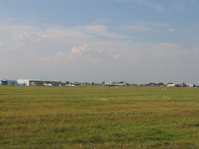
Image: © David Stowell Taken: 14 Jul 2005
Most of this square is occupied by the airfield. This picture was taken looking north from the road just outside its perimeter.
Images are licensed for reuse under creativecommons.org/licenses/by-sa/2.0
Image Location


Leaflet Map data © OpenStreetMap
Latitude
52.362937
Longitude
-1.485974