Farm Lane South
Introduction
The photograph on this page of Farm Lane South by mike smith as part of the Geograph project.
The Geograph project started in 2005 with the aim of publishing, organising and preserving representative images for every square kilometre of Great Britain, Ireland and the Isle of Man.

There are currently over 7.5m images from over 14,400 individuals and you can help contribute to the project by visiting https://www.geograph.org.uk
Farm Lane South
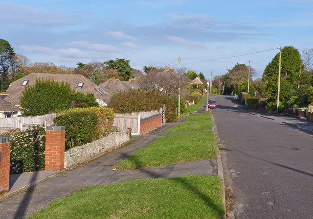
Image: © mike smith Taken: 5 Dec 2011
This is a typical residential road at Barton on Sea, with bungalows and medium size houses.
Images are licensed for reuse under creativecommons.org/licenses/by-sa/2.0
Image Location
Latitude
50.74079
Longitude
-1.658545