United Reformed Church, Oxted
Introduction
The photograph on this page of United Reformed Church, Oxted by David Anstiss as part of the Geograph project.
The Geograph project started in 2005 with the aim of publishing, organising and preserving representative images for every square kilometre of Great Britain, Ireland and the Isle of Man.

There are currently over 7.5m images from over 14,400 individuals and you can help contribute to the project by visiting https://www.geograph.org.uk
United Reformed Church, Oxted
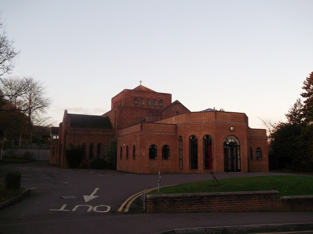
Image: © David Anstiss Taken: 27 Nov 2011
Grade II listed church on Bluehouse Lane. See http://www.britishlistedbuildings.co.uk/en-476288-united-reformed-church-and-attached-wall for more details about the church.
Images are licensed for reuse under creativecommons.org/licenses/by-sa/2.0
Image Location
Latitude
51.259935
Longitude
-0.003556