Tulip Gardens, Llandogo
Introduction
The photograph on this page of Tulip Gardens, Llandogo by Jaggery as part of the Geograph project.
The Geograph project started in 2005 with the aim of publishing, organising and preserving representative images for every square kilometre of Great Britain, Ireland and the Isle of Man.

There are currently over 7.5m images from over 14,400 individuals and you can help contribute to the project by visiting https://www.geograph.org.uk
Tulip Gardens, Llandogo
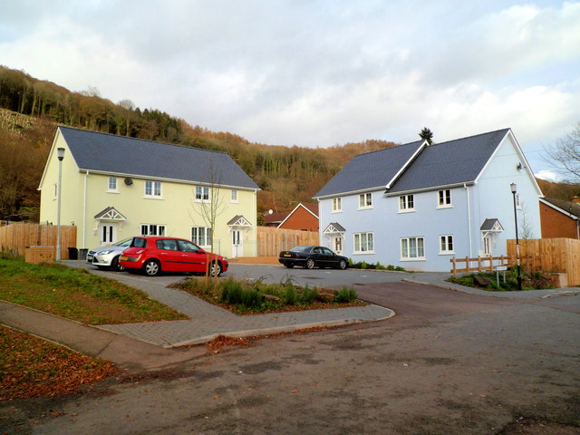
Image: © Jaggery Taken: 4 Dec 2011
These 4 Monmouthshire Housing Association houses were officially opened on March 2nd 2011. Tulip Gardens was the winning entry from a pupil at the nearby primary school http://www.geograph.org.uk/photo/2720004 in a competition to name the new street. Two local councillors stated that they were very pleased that affordable family housing had been built in this rural area.
Images are licensed for reuse under creativecommons.org/licenses/by-sa/2.0
Image Location
Latitude
51.735402
Longitude
-2.68635