Greensand Way to Oxted
Introduction
The photograph on this page of Greensand Way to Oxted by David Anstiss as part of the Geograph project.
The Geograph project started in 2005 with the aim of publishing, organising and preserving representative images for every square kilometre of Great Britain, Ireland and the Isle of Man.

There are currently over 7.5m images from over 14,400 individuals and you can help contribute to the project by visiting https://www.geograph.org.uk
Greensand Way to Oxted
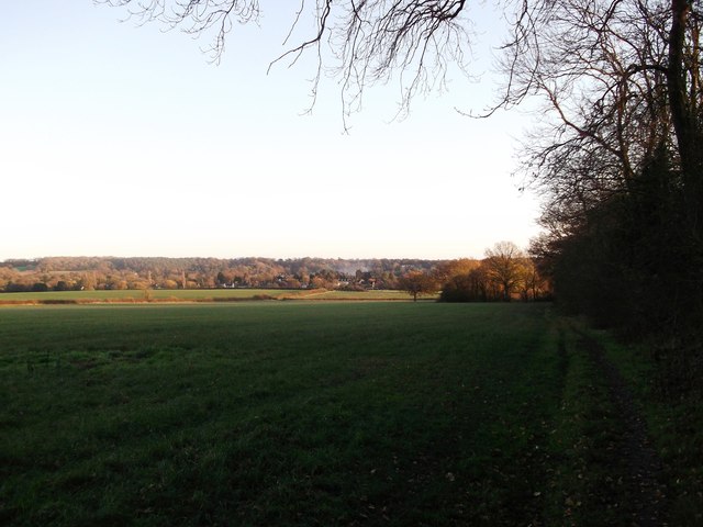
Image: © David Anstiss Taken: 27 Nov 2011
The long distance path linkpath leads from Oxted Downs and North Downs Way (another path) towards the town (in the background) and the main route of the Greensand Way. It passes Chalkpit Wood (on the right).
Images are licensed for reuse under creativecommons.org/licenses/by-sa/2.0
Image Location
Latitude
51.267683
Longitude
-0.004367