View of M25 from Oxted Downs
Introduction
The photograph on this page of View of M25 from Oxted Downs by David Anstiss as part of the Geograph project.
The Geograph project started in 2005 with the aim of publishing, organising and preserving representative images for every square kilometre of Great Britain, Ireland and the Isle of Man.

There are currently over 7.5m images from over 14,400 individuals and you can help contribute to the project by visiting https://www.geograph.org.uk
View of M25 from Oxted Downs
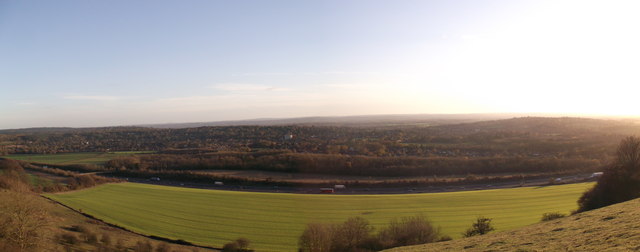
Image: © David Anstiss Taken: 27 Nov 2011
Looking down the National Trust owned and managed Oxted Downs towards Oxted and Limpsfield, the built up area in the background on the right. Running across the middle of the photo is the M25 motorway, crossed by a footbridge (on the far left) carrying a footpath linking Oxted with its eponymous Downs.
Images are licensed for reuse under creativecommons.org/licenses/by-sa/2.0
Image Location
Latitude
51.268988
Longitude
-0.012339