Little Nunty's farm
Introduction
The photograph on this page of Little Nunty's farm by Simon Leatherdale as part of the Geograph project.
The Geograph project started in 2005 with the aim of publishing, organising and preserving representative images for every square kilometre of Great Britain, Ireland and the Isle of Man.

There are currently over 7.5m images from over 14,400 individuals and you can help contribute to the project by visiting https://www.geograph.org.uk
Little Nunty's farm
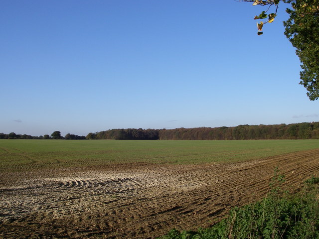
Image: © Simon Leatherdale Taken: 2 Nov 2006
This arable field was originally divided into 7 and named after the days of the week and during WW II a horse was caught in cross fire from a "dog fight" going on overhead and, alas, died.
Images are licensed for reuse under creativecommons.org/licenses/by-sa/2.0
Image Location
Latitude
51.898091
Longitude
0.65402