The Tissington Trail
Introduction
The photograph on this page of The Tissington Trail by David Stowell as part of the Geograph project.
The Geograph project started in 2005 with the aim of publishing, organising and preserving representative images for every square kilometre of Great Britain, Ireland and the Isle of Man.

There are currently over 7.5m images from over 14,400 individuals and you can help contribute to the project by visiting https://www.geograph.org.uk
The Tissington Trail
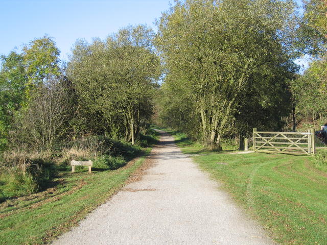
Image: © David Stowell Taken: 2 Nov 2006
Looking north along the course of the former Ashbourne - Buxton Railway line at Hartington, currently used as a cycleway and long distance footpath.
Images are licensed for reuse under creativecommons.org/licenses/by-sa/2.0
Image Location
Latitude
53.146837
Longitude
-1.778682