Buckland in the Moor: Ruddycleave tributary
Introduction
The photograph on this page of Buckland in the Moor: Ruddycleave tributary by Martin Bodman as part of the Geograph project.
The Geograph project started in 2005 with the aim of publishing, organising and preserving representative images for every square kilometre of Great Britain, Ireland and the Isle of Man.

There are currently over 7.5m images from over 14,400 individuals and you can help contribute to the project by visiting https://www.geograph.org.uk
Buckland in the Moor: Ruddycleave tributary
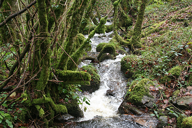
Image: © Martin Bodman Taken: 1 Dec 2011
Just above its confluence with the Ruddycleave Water. This stream returns some of the latter's water taken away from it by a weir and leat further upstream
Images are licensed for reuse under creativecommons.org/licenses/by-sa/2.0
Image Location
Latitude
50.542508
Longitude
-3.803998