Stream north of Colebrooke Lane
Introduction
The photograph on this page of Stream north of Colebrooke Lane by David Smith as part of the Geograph project.
The Geograph project started in 2005 with the aim of publishing, organising and preserving representative images for every square kilometre of Great Britain, Ireland and the Isle of Man.

There are currently over 7.5m images from over 14,400 individuals and you can help contribute to the project by visiting https://www.geograph.org.uk
Stream north of Colebrooke Lane
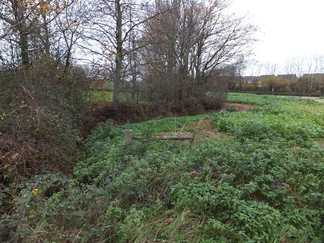
Image: © David Smith Taken: 2 Dec 2011
The stream flows into the Cole Brook; on this side, the north, it flows past the fishery at Kia Ora beyond this field.
Images are licensed for reuse under creativecommons.org/licenses/by-sa/2.0
Image Location
Latitude
50.850201
Longitude
-3.403296