Ridgeway Road
Introduction
The photograph on this page of Ridgeway Road by Ian Capper as part of the Geograph project.
The Geograph project started in 2005 with the aim of publishing, organising and preserving representative images for every square kilometre of Great Britain, Ireland and the Isle of Man.

There are currently over 7.5m images from over 14,400 individuals and you can help contribute to the project by visiting https://www.geograph.org.uk
Ridgeway Road
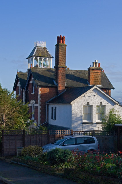
Image: © Ian Capper Taken: 27 Nov 2011
Ridgeway Road appears on the 1871 large scale map, but with only a couple of houses built. More development took place over the next few decades, with the 1895 map showing it largely complete. This particular building with its unusual tower is locally listed.
Images are licensed for reuse under creativecommons.org/licenses/by-sa/2.0
Image Location
Latitude
51.236543
Longitude
-0.172477