Durley Brook Road approaching village hall
Introduction
The photograph on this page of Durley Brook Road approaching village hall by Peter Facey as part of the Geograph project.
The Geograph project started in 2005 with the aim of publishing, organising and preserving representative images for every square kilometre of Great Britain, Ireland and the Isle of Man.

There are currently over 7.5m images from over 14,400 individuals and you can help contribute to the project by visiting https://www.geograph.org.uk
Durley Brook Road approaching village hall
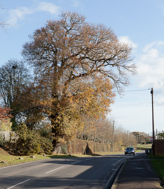
Image: © Peter Facey Taken: 27 Nov 2011
The house not seen on the left is appropriately named Trees.
Images are licensed for reuse under creativecommons.org/licenses/by-sa/2.0
Image Location
Latitude
50.947542
Longitude
-1.269561