The West Esplanade
Introduction
The photograph on this page of The West Esplanade by Lairich Rig as part of the Geograph project.
The Geograph project started in 2005 with the aim of publishing, organising and preserving representative images for every square kilometre of Great Britain, Ireland and the Isle of Man.

There are currently over 7.5m images from over 14,400 individuals and you can help contribute to the project by visiting https://www.geograph.org.uk
The West Esplanade
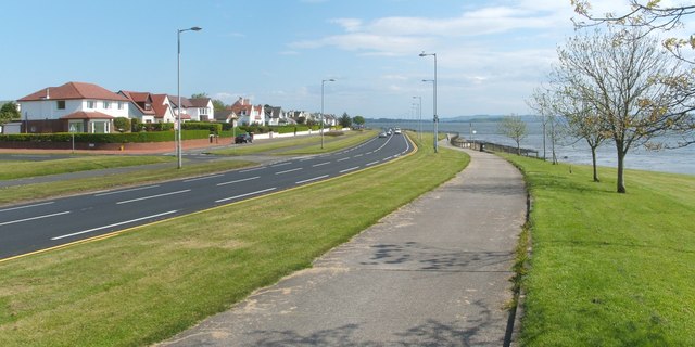
Image: © Lairich Rig Taken: 14 May 2009
Helensburgh's West Esplanade (Image) leads, without interruption, from beside the pier to the location shown here, beside Image The main road visible in this photograph is Rhu Road Lower (not far to the south-east, it becomes West Clyde Street), with Kidston Avenue running parallel to it on the left. Also visible, left of centre, is the junction with Castle Avenue. For a view in the opposite direction, see Image
Images are licensed for reuse under creativecommons.org/licenses/by-sa/2.0
Image Location
Latitude
56.007391
Longitude
-4.759294