Gwendoline Road, Risca
Introduction
The photograph on this page of Gwendoline Road, Risca by Jaggery as part of the Geograph project.
The Geograph project started in 2005 with the aim of publishing, organising and preserving representative images for every square kilometre of Great Britain, Ireland and the Isle of Man.

There are currently over 7.5m images from over 14,400 individuals and you can help contribute to the project by visiting https://www.geograph.org.uk
Gwendoline Road, Risca
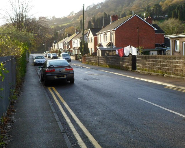
Image: © Jaggery Taken: 30 Nov 2011
Looking south from the Danygraig Road end. The houses are all on the west side of the road. The east side is the perimeter of Risca Primary School. http://www.geograph.org.uk/photo/2715165
Images are licensed for reuse under creativecommons.org/licenses/by-sa/2.0
Image Location
Latitude
51.607244
Longitude
-3.103189