Bridge Street, Risca
Introduction
The photograph on this page of Bridge Street, Risca by Jaggery as part of the Geograph project.
The Geograph project started in 2005 with the aim of publishing, organising and preserving representative images for every square kilometre of Great Britain, Ireland and the Isle of Man.

There are currently over 7.5m images from over 14,400 individuals and you can help contribute to the project by visiting https://www.geograph.org.uk
Bridge Street, Risca
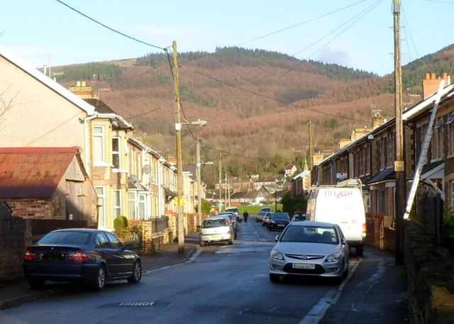
Image: © Jaggery Taken: 30 Nov 2011
Looking north along Bridge Street from the Danygraig Road side. Beyond the Phillip Street intersection ahead, the northern end of Bridge Street is at the edge of a recreation ground.
Images are licensed for reuse under creativecommons.org/licenses/by-sa/2.0
Image Location
Latitude
51.609029
Longitude
-3.104676