Risca Primary School
Introduction
The photograph on this page of Risca Primary School by Jaggery as part of the Geograph project.
The Geograph project started in 2005 with the aim of publishing, organising and preserving representative images for every square kilometre of Great Britain, Ireland and the Isle of Man.

There are currently over 7.5m images from over 14,400 individuals and you can help contribute to the project by visiting https://www.geograph.org.uk
Risca Primary School
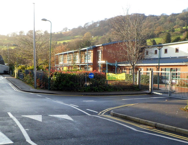
Image: © Jaggery Taken: 30 Nov 2011
The school is located on a site bordered by Graig View, Danygraig Road and Gwendoline Road. This view was taken along Graig View on November 30th 2011, when the school was closed because of a nationwide strike by public sector workers.
Images are licensed for reuse under creativecommons.org/licenses/by-sa/2.0
Image Location
Latitude
51.607244
Longitude
-3.103189