St Edmunds Church
Introduction
The photograph on this page of St Edmunds Church by Rick Carn as part of the Geograph project.
The Geograph project started in 2005 with the aim of publishing, organising and preserving representative images for every square kilometre of Great Britain, Ireland and the Isle of Man.

There are currently over 7.5m images from over 14,400 individuals and you can help contribute to the project by visiting https://www.geograph.org.uk
St Edmunds Church
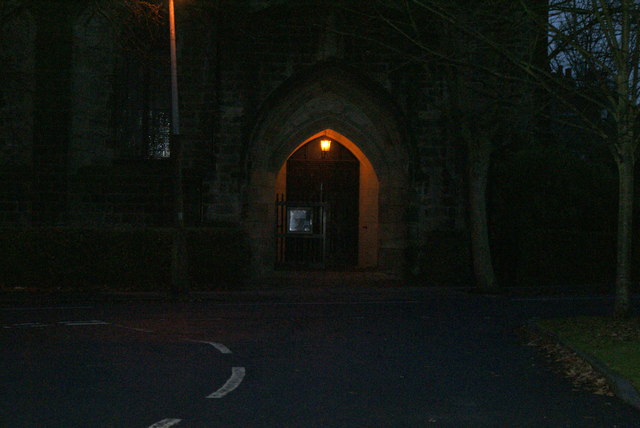
Image: © Rick Carn Taken: 30 Nov 2011
Main door at dusk, viewed south from Lidgett Mount
Images are licensed for reuse under creativecommons.org/licenses/by-sa/2.0
Image Location
Latitude
53.838444
Longitude
-1.515804