The Sailors' Row, Carrickfergus (2)
Introduction
The photograph on this page of The Sailors' Row, Carrickfergus (2) by Albert Bridge as part of the Geograph project.
The Geograph project started in 2005 with the aim of publishing, organising and preserving representative images for every square kilometre of Great Britain, Ireland and the Isle of Man.

There are currently over 7.5m images from over 14,400 individuals and you can help contribute to the project by visiting https://www.geograph.org.uk
The Sailors' Row, Carrickfergus (2)
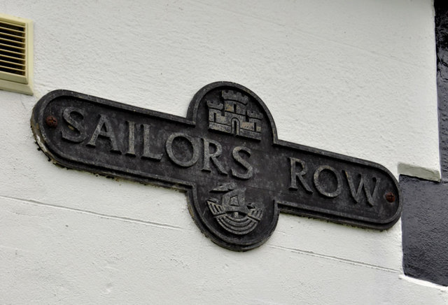
Image: © Albert Bridge Taken: 30 Nov 2011
See Image The street name sign, at the Governor’s Place end, mounted on the side of Gill’s Almshouses Image Not shown on the Google map.
Images are licensed for reuse under creativecommons.org/licenses/by-sa/2.0
Image Location
Latitude
54.713985
Longitude
-5.809599