Roman Road, Blackbird Leys
Introduction
The photograph on this page of Roman Road, Blackbird Leys by Des Blenkinsopp as part of the Geograph project.
The Geograph project started in 2005 with the aim of publishing, organising and preserving representative images for every square kilometre of Great Britain, Ireland and the Isle of Man.

There are currently over 7.5m images from over 14,400 individuals and you can help contribute to the project by visiting https://www.geograph.org.uk
Roman Road, Blackbird Leys
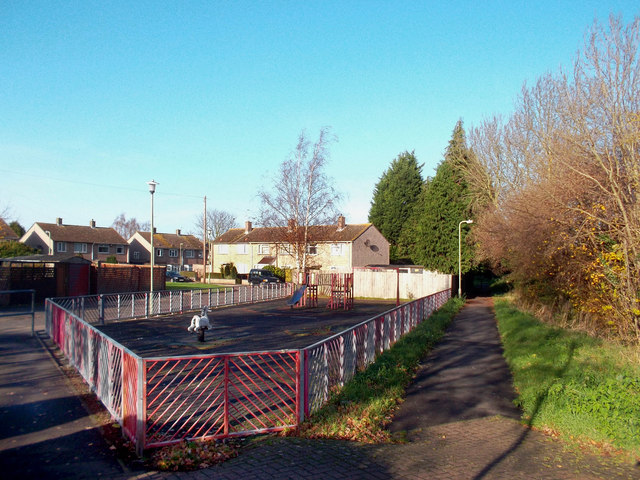
Image: © Des Blenkinsopp Taken: 30 Nov 2011
The ancient route of the Dorchester to Bicester Roman road has been preserved intact as a well used public footpath through the large Oxford suburb of Blackbird Leys. The houses beyond the playground are on Sorrel Road.
Images are licensed for reuse under creativecommons.org/licenses/by-sa/2.0
Image Location
Latitude
51.721218
Longitude
-1.18956