Ladywell House, Newtown
Introduction
The photograph on this page of Ladywell House, Newtown by Chris Andrews as part of the Geograph project.
The Geograph project started in 2005 with the aim of publishing, organising and preserving representative images for every square kilometre of Great Britain, Ireland and the Isle of Man.

There are currently over 7.5m images from over 14,400 individuals and you can help contribute to the project by visiting https://www.geograph.org.uk
Ladywell House, Newtown
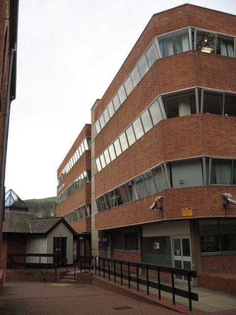
Image: © Chris Andrews Taken: 24 Nov 2011
Originally the offices of the DBRW (Development Board for Rural Wales), who were merged with the WDA (Welsh Development Agency), who in turn became part of WAG (Welsh Assembly Government).
Images are licensed for reuse under creativecommons.org/licenses/by-sa/2.0
Image Location
Latitude
52.513432
Longitude
-3.315846