Gwendoline Road, Risca
Introduction
The photograph on this page of Gwendoline Road, Risca by Jaggery as part of the Geograph project.
The Geograph project started in 2005 with the aim of publishing, organising and preserving representative images for every square kilometre of Great Britain, Ireland and the Isle of Man.

There are currently over 7.5m images from over 14,400 individuals and you can help contribute to the project by visiting https://www.geograph.org.uk
Gwendoline Road, Risca
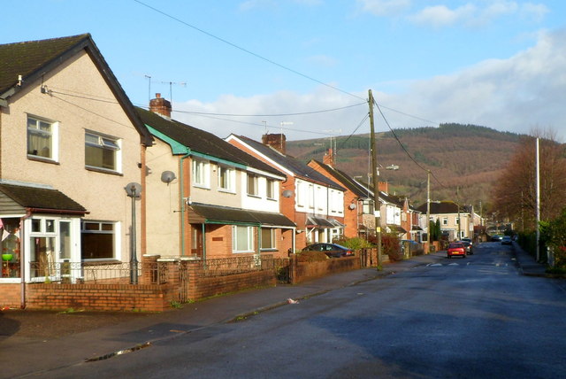
Image: © Jaggery Taken: 30 Nov 2011
Looking north along Gwendoline Road from the edge of a rugby club's car park on the east bank of the River Ebbw.
Images are licensed for reuse under creativecommons.org/licenses/by-sa/2.0
Image Location
Latitude
51.608143
Longitude
-3.103211