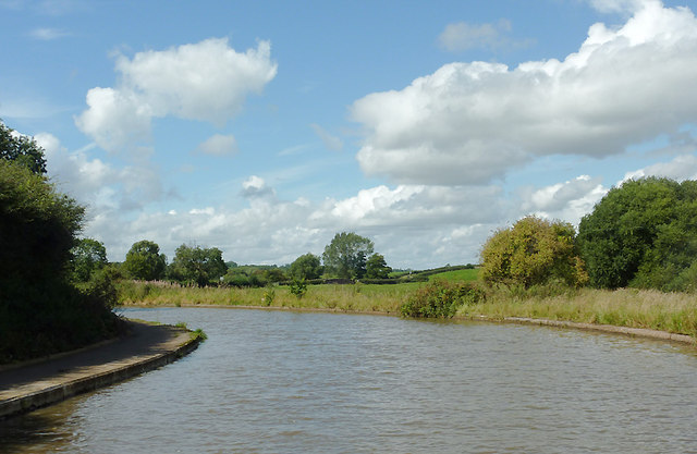
Trent and Mersey Canal north of Middlewich, Cheshire
Introduction
The photograph on this page of Trent and Mersey Canal north of Middlewich, Cheshire by Roger D Kidd as part of the Geograph project.
The Geograph project started in 2005 with the aim of publishing, organising and preserving representative images for every square kilometre of Great Britain, Ireland and the Isle of Man.
There are currently over 7.5m images from over 14,400 individuals and you can help contribute to the project by visiting https://www.geograph.org.uk

Image: © Roger D Kidd Taken: 28 Aug 2011
The River Dane flows through the pasture to the right of the canal. The Trent and Mersey Canal is 93·5 miles in length from Derwent Mouth to Preston Brook. The first cut was made by Josiah Wedgwood in July 1766 at Middleport (Stoke-on-Trent). The eastern section between Derwent Mouth and Shugborough (the junction with the Staffordshire and Worcestershire Canal) was already operational by 1770 and the whole canal through to Preston Brook, where it linked with the Bridgewater Canal was open for business by 1777. James Brindley was the engineer until his death in 1772. There are seventy-six locks en route to raise and lower the water level where hills impede the course. There are four tunnels, including the famous Harecastle Tunnel near Stoke-on-Trent.

