Covered reservoir with trig point
Introduction
The photograph on this page of Covered reservoir with trig point by Trevor Littlewood as part of the Geograph project.
The Geograph project started in 2005 with the aim of publishing, organising and preserving representative images for every square kilometre of Great Britain, Ireland and the Isle of Man.

There are currently over 7.5m images from over 14,400 individuals and you can help contribute to the project by visiting https://www.geograph.org.uk
Covered reservoir with trig point
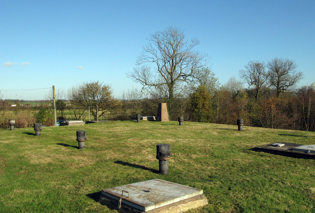
Image: © Trevor Littlewood Taken: 9 Nov 2007
Covered reservoirs of this kind are common and are frequently used as locations for trig points. This trig is known to the OS as 'Willesley' and is close to the A42 south of Ashby de la Zouch.
Images are licensed for reuse under creativecommons.org/licenses/by-sa/2.0
Image Location


Leaflet Map data © OpenStreetMap
Latitude
52.720766
Longitude
-1.492587