A41 route confirmatory sign north of the A518 roundabout
Introduction
The photograph on this page of A41 route confirmatory sign north of the A518 roundabout by Peter Whatley as part of the Geograph project.
The Geograph project started in 2005 with the aim of publishing, organising and preserving representative images for every square kilometre of Great Britain, Ireland and the Isle of Man.

There are currently over 7.5m images from over 14,400 individuals and you can help contribute to the project by visiting https://www.geograph.org.uk
A41 route confirmatory sign north of the A518 roundabout
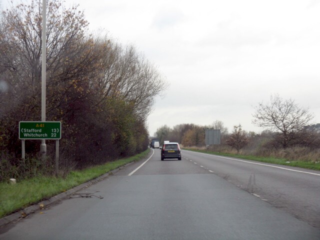
Image: © Peter Whatley Taken: 29 Nov 2011
Stafford is shown in brackets as it reached by another route: in this case the A518 which route runs in tandem with the A41 for about a half-mile.
Images are licensed for reuse under creativecommons.org/licenses/by-sa/2.0
Image Location
Latitude
52.764813
Longitude
-2.359787