Albion Road bridge New Mills
Introduction
The photograph on this page of Albion Road bridge New Mills by Peter Turner as part of the Geograph project.
The Geograph project started in 2005 with the aim of publishing, organising and preserving representative images for every square kilometre of Great Britain, Ireland and the Isle of Man.

There are currently over 7.5m images from over 14,400 individuals and you can help contribute to the project by visiting https://www.geograph.org.uk
Albion Road bridge New Mills
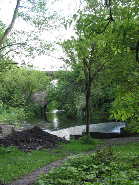
Image: © Peter Turner Taken: 25 May 2003
Looking up the Goyt over the weir at the confluence of the River Sett. The pile of earth is spoil from an archaeological dig. It now seems that the dig was to be a precursor to the installation works for 'Archie'.
Images are licensed for reuse under creativecommons.org/licenses/by-sa/2.0
Image Location
Latitude
53.363402
Longitude
-1.99966