Footpath, Sturminster Marshall
Introduction
The photograph on this page of Footpath, Sturminster Marshall by Maigheach-gheal as part of the Geograph project.
The Geograph project started in 2005 with the aim of publishing, organising and preserving representative images for every square kilometre of Great Britain, Ireland and the Isle of Man.

There are currently over 7.5m images from over 14,400 individuals and you can help contribute to the project by visiting https://www.geograph.org.uk
Footpath, Sturminster Marshall
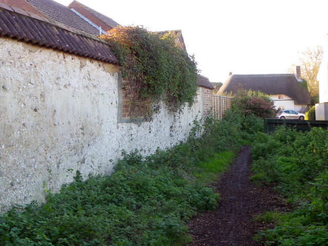
Image: © Maigheach-gheal Taken: 27 Nov 2011
The footpath is part of the Wareham Forest Way. The route takes walkers from Wareham to Sturminster Marshall, taking in some of the less well known landscapes of north Purbeck and East Dorset. The route is 20.5 km.
Images are licensed for reuse under creativecommons.org/licenses/by-sa/2.0
Image Location
Latitude
50.800258
Longitude
-2.072175