Land west of the seafront in 1972
Introduction
The photograph on this page of Land west of the seafront in 1972 by John Baker as part of the Geograph project.
The Geograph project started in 2005 with the aim of publishing, organising and preserving representative images for every square kilometre of Great Britain, Ireland and the Isle of Man.

There are currently over 7.5m images from over 14,400 individuals and you can help contribute to the project by visiting https://www.geograph.org.uk
Land west of the seafront in 1972
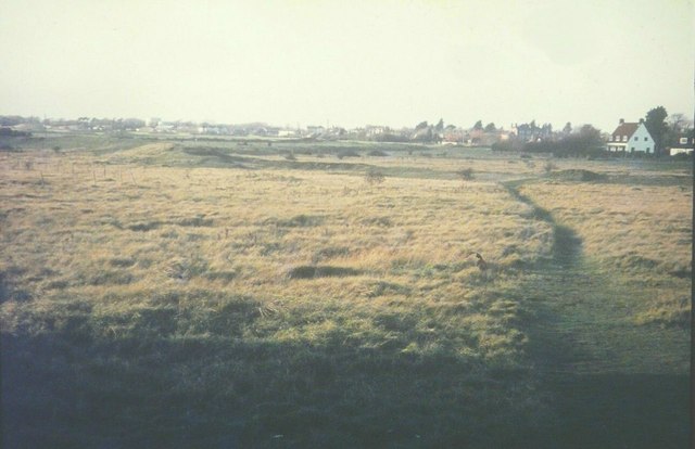
Image: © John Baker Taken: Unknown
As seen from the bridleway through the caravan park beyond Clarke Road. This land remains undeveloped today. The raised semi-circle of ground could be the remains of a former seawall or shingle bank as this area was identified as part of a bay on the first edition of the one-inch Ordnance Survey.
Images are licensed for reuse under creativecommons.org/licenses/by-sa/2.0
Image Location


Leaflet Map data © OpenStreetMap
Latitude
50.978884
Longitude
0.962711