Dry riverbed at Landwade
Introduction
The photograph on this page of Dry riverbed at Landwade by ethics girl as part of the Geograph project.
The Geograph project started in 2005 with the aim of publishing, organising and preserving representative images for every square kilometre of Great Britain, Ireland and the Isle of Man.

There are currently over 7.5m images from over 14,400 individuals and you can help contribute to the project by visiting https://www.geograph.org.uk
Dry riverbed at Landwade
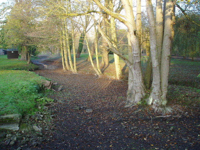
Image: © ethics girl Taken: 20 Nov 2011
What features show that this is a riverbed? A few weeks later, the river was flowing again, see: Image
Images are licensed for reuse under creativecommons.org/licenses/by-sa/2.0
Image Location
Latitude
52.285937
Longitude
0.380802