St Arvans houses
Introduction
The photograph on this page of St Arvans houses by Jaggery as part of the Geograph project.
The Geograph project started in 2005 with the aim of publishing, organising and preserving representative images for every square kilometre of Great Britain, Ireland and the Isle of Man.

There are currently over 7.5m images from over 14,400 individuals and you can help contribute to the project by visiting https://www.geograph.org.uk
St Arvans houses
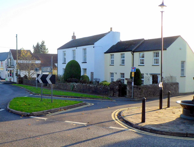
Image: © Jaggery Taken: 27 Nov 2011
Houses on the corner of the A466 and Fordwich Close. The edge of a late Victorian drinking fountain http://www.geograph.org.uk/photo/2710888 is at the lower right edge of the view.
Images are licensed for reuse under creativecommons.org/licenses/by-sa/2.0
Image Location
Latitude
51.6643
Longitude
-2.698287