Roding Valley Way
Introduction
The photograph on this page of Roding Valley Way by Glyn Baker as part of the Geograph project.
The Geograph project started in 2005 with the aim of publishing, organising and preserving representative images for every square kilometre of Great Britain, Ireland and the Isle of Man.

There are currently over 7.5m images from over 14,400 individuals and you can help contribute to the project by visiting https://www.geograph.org.uk
Roding Valley Way
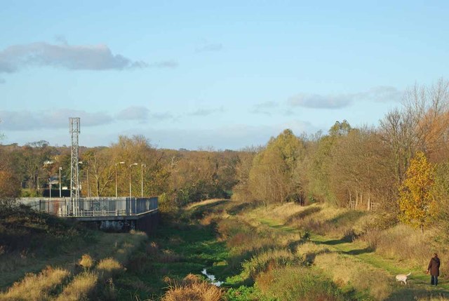
Image: © Glyn Baker Taken: 27 Nov 2011
A canalised section of the River Roding created during the construction of the M11 the path is part of the Roding Valley Way a six mile cycle route from Ilford to Grange Hill see http://www.sustrans.org.uk/sustrans-near-you/london/easy-rides-in-london/roding-valley-way
Images are licensed for reuse under creativecommons.org/licenses/by-sa/2.0
Image Location
Latitude
51.606076
Longitude
0.04813