Cliston Manor Windmill
Introduction
The photograph on this page of Cliston Manor Windmill by Chris Allen as part of the Geograph project.
The Geograph project started in 2005 with the aim of publishing, organising and preserving representative images for every square kilometre of Great Britain, Ireland and the Isle of Man.

There are currently over 7.5m images from over 14,400 individuals and you can help contribute to the project by visiting https://www.geograph.org.uk
Cliston Manor Windmill
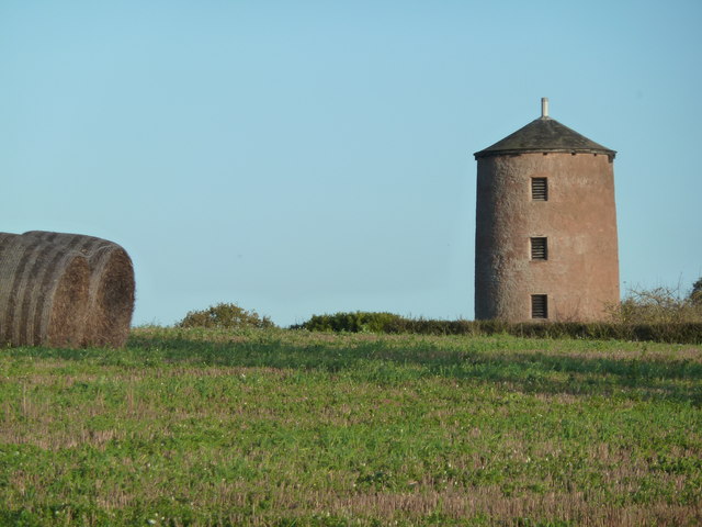
Image: © Chris Allen Taken: 27 Nov 2011
This tower mill was built 1786 but was disused by 1815. It is constructed of sandstone and is 30' high by 14' internal diameter at the base.
Images are licensed for reuse under creativecommons.org/licenses/by-sa/2.0
Image Location
Latitude
50.759462
Longitude
-3.432765