East Worlington: the old road to Witheridge
Introduction
The photograph on this page of East Worlington: the old road to Witheridge by Martin Bodman as part of the Geograph project.
The Geograph project started in 2005 with the aim of publishing, organising and preserving representative images for every square kilometre of Great Britain, Ireland and the Isle of Man.

There are currently over 7.5m images from over 14,400 individuals and you can help contribute to the project by visiting https://www.geograph.org.uk
East Worlington: the old road to Witheridge
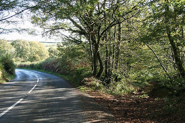
Image: © Martin Bodman Taken: 1 Nov 2006
At the point where the newer route from South Molton diverges from its course near Halford Farm. Looking south east. The route of the old road is evident from a series of aligned field boundaries seen on the Ordnance Survey Pathfinder map
Images are licensed for reuse under creativecommons.org/licenses/by-sa/2.0
Image Location
Latitude
50.938019
Longitude
-3.734435