Claybury Wood
Introduction
The photograph on this page of Claybury Wood by Glyn Baker as part of the Geograph project.
The Geograph project started in 2005 with the aim of publishing, organising and preserving representative images for every square kilometre of Great Britain, Ireland and the Isle of Man.

There are currently over 7.5m images from over 14,400 individuals and you can help contribute to the project by visiting https://www.geograph.org.uk
Claybury Wood
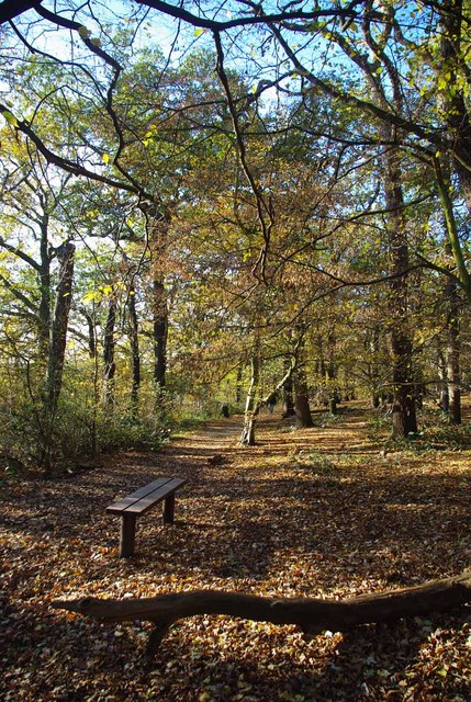
Image: © Glyn Baker Taken: 27 Nov 2011
Claybury Wood is part of a country park and local nature reserve owned by Redbridge Council for more info see http://www.wildessex.net/sites/Claybury%20Park.htm and http://www2.redbridge.gov.uk/cms/leisure_and_libraries/leisure_and_culture/parks_and_open_spaces/list_of_parks_and_open_spaces/claybury_woods_and_park.aspx
Images are licensed for reuse under creativecommons.org/licenses/by-sa/2.0
Image Location
Latitude
51.599273
Longitude
0.071938