Building on De Lacy Way
Introduction
The photograph on this page of Building on De Lacy Way by David Wright as part of the Geograph project.
The Geograph project started in 2005 with the aim of publishing, organising and preserving representative images for every square kilometre of Great Britain, Ireland and the Isle of Man.

There are currently over 7.5m images from over 14,400 individuals and you can help contribute to the project by visiting https://www.geograph.org.uk
Building on De Lacy Way
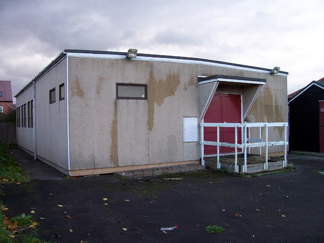
Image: © David Wright Taken: 31 Oct 2006
This building is the former Army Cadets Hut (has not been used for the past 3 years) situated on De Lacy Way near to both the Telephone Exchange and Police Station. It will soon be demolished along with the shooting tunnels nearby. Meanwhile it receives my vote as "Ugliest Building in Winterton".
Images are licensed for reuse under creativecommons.org/licenses/by-sa/2.0
Image Location
Latitude
53.655742
Longitude
-0.603365