Route 6
Introduction
The photograph on this page of Route 6 by Richard Croft as part of the Geograph project.
The Geograph project started in 2005 with the aim of publishing, organising and preserving representative images for every square kilometre of Great Britain, Ireland and the Isle of Man.

There are currently over 7.5m images from over 14,400 individuals and you can help contribute to the project by visiting https://www.geograph.org.uk
Route 6
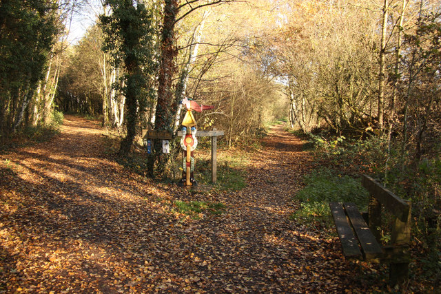
Image: © Richard Croft Taken: 25 Nov 2011
Colourful waymark at a junction of paths - right to Bestwood Country Park, left to Mill Lakes on NCN route 6
Images are licensed for reuse under creativecommons.org/licenses/by-sa/2.0
Image Location
Latitude
53.017308
Longitude
-1.182338