Shoreditch: Old Street from the Overground
Introduction
The photograph on this page of Shoreditch: Old Street from the Overground by Christopher Hilton as part of the Geograph project.
The Geograph project started in 2005 with the aim of publishing, organising and preserving representative images for every square kilometre of Great Britain, Ireland and the Isle of Man.

There are currently over 7.5m images from over 14,400 individuals and you can help contribute to the project by visiting https://www.geograph.org.uk
Shoreditch: Old Street from the Overground
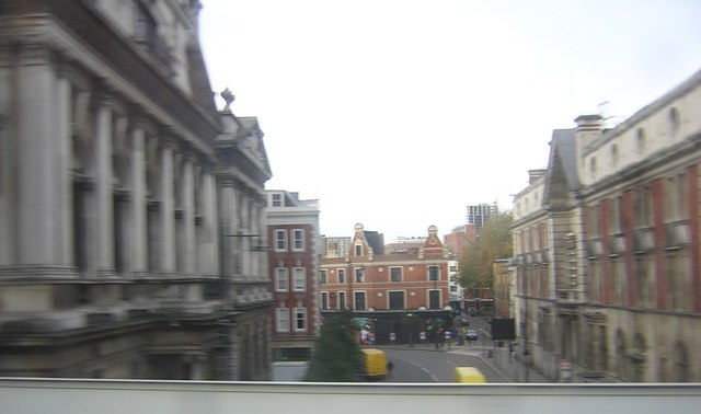
Image: © Christopher Hilton Taken: 26 Nov 2011
A snatched shot from a moving Overground train; Shoreditch Town Hall to the left. When I lived in the East End in the 1980s, this line (out of the former Broad Street station) had been closed a couple of years before and was already looking dilapidated; its current shiny new state would have seemed a pipedream then.
Images are licensed for reuse under creativecommons.org/licenses/by-sa/2.0
Image Location
Latitude
51.527049
Longitude
-0.080555