Millstone by the London Loop
Introduction
The photograph on this page of Millstone by the London Loop by Des Blenkinsopp as part of the Geograph project.
The Geograph project started in 2005 with the aim of publishing, organising and preserving representative images for every square kilometre of Great Britain, Ireland and the Isle of Man.

There are currently over 7.5m images from over 14,400 individuals and you can help contribute to the project by visiting https://www.geograph.org.uk
Millstone by the London Loop
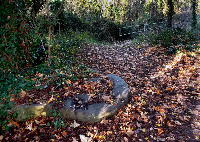
Image: © Des Blenkinsopp Taken: 25 Nov 2011
Just north of the bridge taking the LOOP over the Duke of Northumberlands River http://en.wikipedia.org/wiki/Duke_of_Northumberland%27s_River is this broken mill stone lying by the path, a remnant of one of the many mills on the River Crane http://www.british-history.ac.uk/report.aspx?compid=22278
Images are licensed for reuse under creativecommons.org/licenses/by-sa/2.0
Image Location
Latitude
51.460113
Longitude
-0.402216