Heyheads
Introduction
The photograph on this page of Heyheads by David Dixon as part of the Geograph project.
The Geograph project started in 2005 with the aim of publishing, organising and preserving representative images for every square kilometre of Great Britain, Ireland and the Isle of Man.

There are currently over 7.5m images from over 14,400 individuals and you can help contribute to the project by visiting https://www.geograph.org.uk
Heyheads
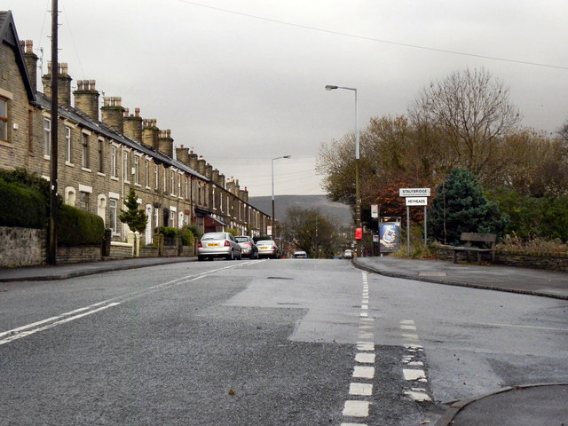
Image: © David Dixon Taken: 25 Nov 2011
Looking across the Staley Road/Huddersfield Road junction at the boundary between Micklehurst (Mossley) and Heyheads (Stalybridge).
Images are licensed for reuse under creativecommons.org/licenses/by-sa/2.0
Image Location
Latitude
53.509552
Longitude
-2.02846