Ridgmont Road
Introduction
The photograph on this page of Ridgmont Road by Ian Capper as part of the Geograph project.
The Geograph project started in 2005 with the aim of publishing, organising and preserving representative images for every square kilometre of Great Britain, Ireland and the Isle of Man.

There are currently over 7.5m images from over 14,400 individuals and you can help contribute to the project by visiting https://www.geograph.org.uk
Ridgmont Road
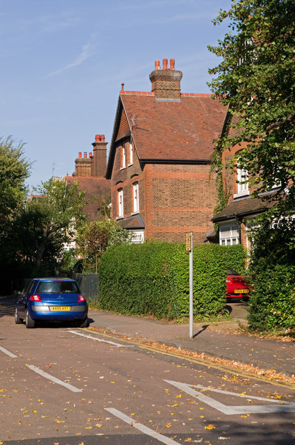
Image: © Ian Capper Taken: 2 Oct 2011
Large Victorian villas in an area developed following the arrival of the Midland Railway at what is now St Albans City Station. They are locally listed.
Images are licensed for reuse under creativecommons.org/licenses/by-sa/2.0
Image Location
Latitude
51.747658
Longitude
-0.328859