Track on Silvington Common
Introduction
The photograph on this page of Track on Silvington Common by Jeremy Bolwell as part of the Geograph project.
The Geograph project started in 2005 with the aim of publishing, organising and preserving representative images for every square kilometre of Great Britain, Ireland and the Isle of Man.

There are currently over 7.5m images from over 14,400 individuals and you can help contribute to the project by visiting https://www.geograph.org.uk
Track on Silvington Common
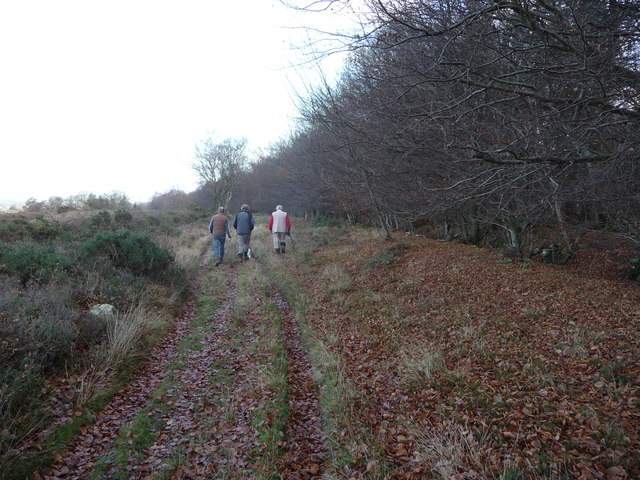
Image: © Jeremy Bolwell Taken: 25 Nov 2011
This path and track follows the ridge with the wood to the right providing shelter for the settlements lower down and the open common lies to the left or east with extensive open views. A bank and ditch mark the boundary between the woodland and common and possibly follows parish or estate boundaries too.
Images are licensed for reuse under creativecommons.org/licenses/by-sa/2.0
Image Location
Latitude
52.408629
Longitude
-2.548574