
Bastle House at Apperley
Introduction
The photograph on this page of Bastle House at Apperley by Robert W Watt as part of the Geograph project.
The Geograph project started in 2005 with the aim of publishing, organising and preserving representative images for every square kilometre of Great Britain, Ireland and the Isle of Man.

There are currently over 7.5m images from over 14,400 individuals and you can help contribute to the project by visiting https://www.geograph.org.uk
Bastle House at Apperley
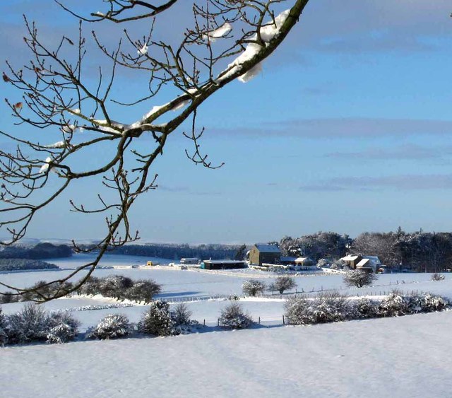
Image: © Robert W Watt Taken: 7 Jan 2010
A bastle house (from the French "bastille") is a fortified farm building with exceedingly thick stone walls. They are common on the English - Scottish border. In times of conflict the cattle were kept on the ground floor while the farmer and his family lived on the floor above. The main entrance was a door on the second floor. Today, such buildings have often been converted into modern dwelling houses.
Images are licensed for reuse under creativecommons.org/licenses/by-sa/2.0
Image Location

Latitude
54.920976
Longitude
-1.901835